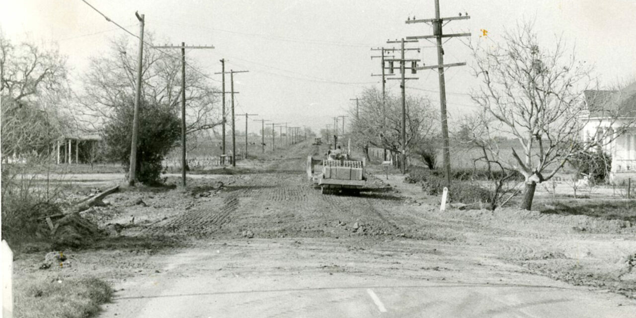
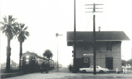
Gravel, dirt and stone roads may have sufficed for centuries. Horseshoes and wagon wheels could handle a slower pace on rougher roads. But with the invention and mass adoption of the automobile, the common surfaces were just too rough, too bumpy, and too damaging to the wood wheels. The first cars were capable, but they weren’t horses.
The year was 1913 and Doctor J. L. McClelland, the first doctor in Los Banos who arrived in the 1880s, was the first Secretary of the Los Banos Chamber of Commerce. After getting the city trustees to invest in electric lights and getting the first public library built there was still so much for the young energetic organization to do.
One of the greatest concerns was getting a road to Merced paved.
In a conference in 1917, Gustine resident D. T. Haley told Merced representatives, “Your poorest road is better than our best.”
Los Banos, just three years before in the 1910 census, had 745 residents.
Sweating in 102-degree heat without our modern air conditioning, in the chamber office McClelland hammered out the issue. A direct “Road to Merced” was the idea, but who could finance it? Small road districts could only build and pave small roads, Los Banos didn’t have the tax base to fund it, and Merced seemed content to better itself.
McClelland leveraged Los Banos’ position as the gateway to the coast and the gateway to the valley. Pacheco Pass, as it has many times throughout Los Banos history, proved a pivotal leverage point. Yosemite National Park would be a lucrative destination for the coast county residents.
The doctor reached out and pitched the idea of the project to supervisors from each potential county. He seemed to have stirred hornets’ nests with his pitch. By 11 a.m. on July 12, 1913, the first multi-county convention was held at the Los Banos Opera House. Representatives from all counties drove their own automobiles. The first of its kind in California — a road convention where all attendees came in cars.
As reported by the Los Banos Enterprise on Sept. 19, 1914, the chief engineer for the State Highway Commission called the project, “one of the most important roads in the state.”
McClelland had tried to keep jealousy down between counties. At the convention during the naming, “Various members thought to help their communities by bringing in the names of their own towns, deflecting the highway as if intended for the special benefit of their own communities.”
But the doctor was prepared for this, and in response to all the self-centered suggestions, he was able to get the neutral name “Yosemite to the Sea Good Roads Association” approved.
Next came the issue of funding. During the First World War, the issue was hammered out over the course of multiple meetings. The first plan to ‘tax’ for the road is best summed up by Judge L. A. Sischo in January 1917: “The [tax] plan would take 25 years, and a good many of us will be dead by then.”
The second plan was a county-spanning road district bond. A joint chamber of commerce meeting among Gustine, Dos Palos and Los Banos unanimously petitioned the county to create a bond election for the project on Jan 8, 1917. The bond would be for $1,250,000
As reported in the Sept. 29, 1917, edition of the Los Banos Enterprise, following surveys. the ‘Pacheco Road’, future Highway 152, would cost a total of $1,618,414. The State’s share was $541,650 leaving Merced County with the lion’s share of $1,076,764 to pay.
The association worked with the state government to get appropriations and push for the road’s construction. One active member from Los Banos, E.D. Heron, was in charge of roadmap making and had to settle a dispute between Madera and Merced. Each one wanted the road east of the San Joaquin River to feed right into their city. Heron “wrestled with the problem” for a few hours.
In the end, he took a ruler and put one end on Califa (just south of Chowchilla), and the other at Santa Rita Ranch (about 2 miles east of the current Dos Palos exit). He took a page from Peter the Great’s book and drew a straight line. Peter the Great had a famous story of drawing a straight line for the ‘imperial road’ after his advisors kept bickering on how the alignment should go.
According to McClelland, E.D. Heron said, “That is the best place for the road – neutral and yet the shortest crossroad to bind the great valley highways!”
This decision by Heron was the most contested part of the project. Many attempts were made by Merced and Madera to get the association and by extension the Westside to budge. There were even concerns that eastside voters would vote ‘no’ on the bonds if the straight alignment stayed firm and therefore sink the county-wide bond.
Those concerns went unrealized when the voters approved the bonds. There were 2802 ‘yes’ to 1163 ‘no’ votes, according to the Merced Express on Nov 23, 1918.
The current alignment has changed over the years, and highway names and numbers changed with the passing of time. The straightness and neutrality of the eastern half of State Route 152 remains 100 years later.
- Powell is a Board Member of the Milliken Museum Society.
(Research and information for this article was obtained from the Ralph Milliken manuscripts archive, newspapers archive, and with the help of Director Dan Nelson at the Milliken Museum. Additionally, the California Digital Newspaper Collection was also used. The museum, located at 905 E. Pacheco Blvd, adjacent to Pacheco Park, is open every day except Mondays, from 1 to 4 p.m.)


